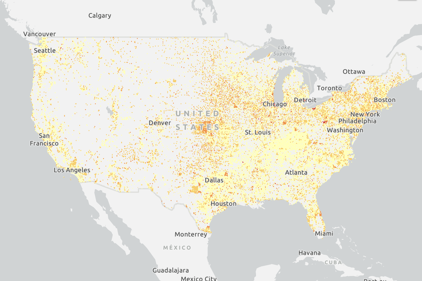
Tools for Mapping Environmental Inequality

Social Inequality Mapping Tools
-

Mapping Inequality
Mapping Inequality maps the historical redlining of the United States and the corresponding population demographics.
-

Climate and Economic Justice Screening Tool
The Climate and Economic Justice Screening Tool “has an interactive map and uses datasets that are indicators of burdens in eight categories: climate change, energy, health, housing, legacy pollution, transportation, water and wastewater, and workforce development. The tool uses this information to identify communities that are experiencing these burdens.”
-

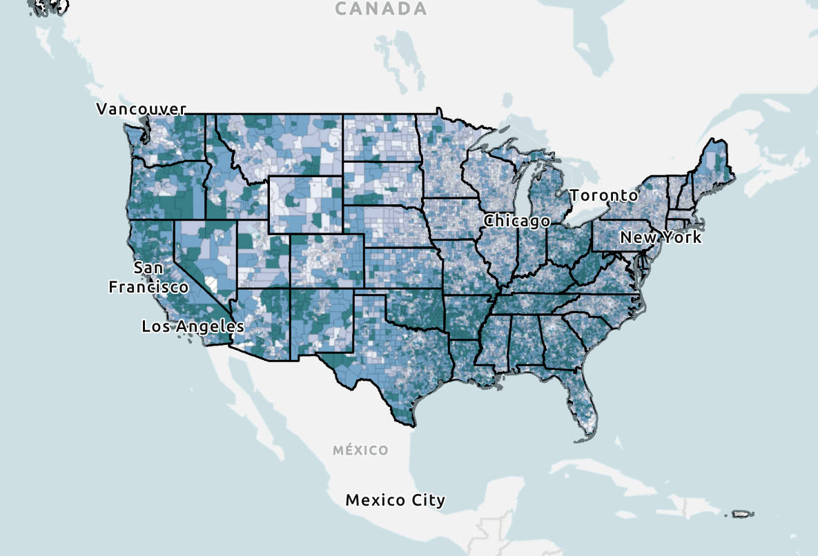
Opportunity Atlas
“The Opportunity Atlas is a data tool that reveals how the neighborhoods where children grow up influence economic outcomes.”

Health and Climate Vulnerability
-
Environmental Justice Index Explorer (EJI)
The Environmental Justice Index “ranks the cumulative impacts of environmental injustice on health for every census tract.”
-

HRSA Maternal and Infant Health Mapping Tool
The Health Resources and Services Administration Maternal and Infant Health Mapping Tool can be used to explore publicly-available data on community maternal and infant health.
-
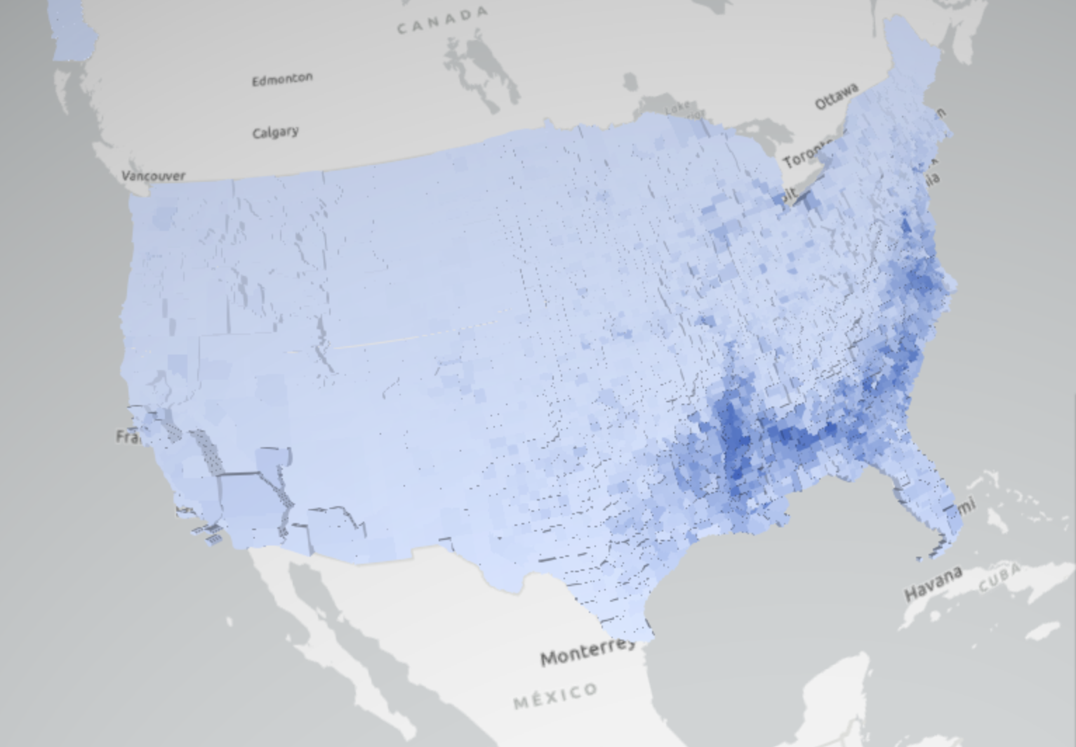
NSAPH Air Quality Disparities Mapper
The National Studies on Air Pollution and Health Air Quality Disparities Mapper is an “open-source web application designed to draw increased attention towards the socioeconomic disparities underlying air pollution exposure in a public-facing and accessible medium.”
-

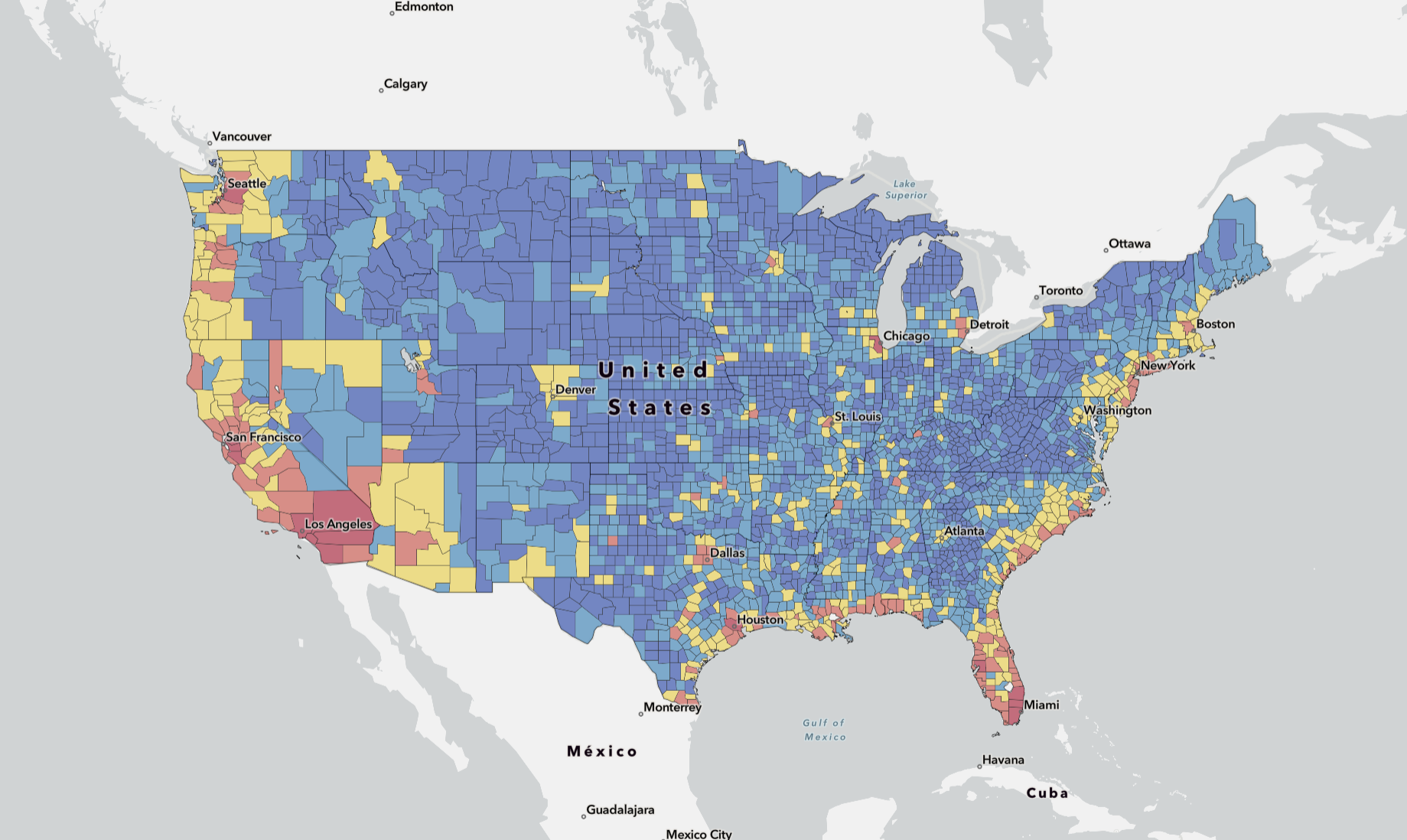
U.S. Climate Vulnerability Index
“The U.S. Climate Vulnerability Index helps you see which communities face the greatest challenges from the impacts of a changing climate.”
-
FEMA National Risk Index
“The National Risk Index is a dataset and online tool to help illustrate the United States communities most at risk for 18 natural hazards.”

EPA Databases
-
Superfund Database
The Superfund National Priorities List (NPL) “is the list of sites of national priority among the known releases or threatened releases of hazardous substances, pollutants, or contaminants throughout the United States and its territories.”
-
Enforcement and Compliance History Online (ECHO)
ECHO can be used to “search for facilities in your community to assess their compliance with environmental regulations.”
-
ECHO Water Quality Indicators (WQI)
Enforcement and Compliance History Online (ECHO) Water Quality Indicators “is a screening tool that makes it easy to identify pollutant hotspots based on water quality monitoring data from the U.S. Water Quality Portal Exit.”
-
EJ Screen (Reconstructed)
EJ Screen is an “environmental justice screening and mapping tool that utilizes standard and nationally consistent data to highlight places that may have higher environmental burdens and vulnerable populations.” Originally created by the EPA, it has since been reuploaded and is no longer an official government website.
-
Benzene Fenceline Monitoring Dashboard
The Benzene Fenceline Monitoring Dashboard provides access to data on benzene emissions from petroleum refineries.
-
Air Quality Data
Tools on this site can be used to access air quality data collected at outdoor monitors across the U.S.
Other Mapping Tools
-

Close City
Close City maps the proximity by different forms of transportation to amenities and destinations.
-

EJ Atlas
EJ Atlas is a map of documented environmental justice conflicts across the globe.
-
LeadOut Map
The LeadOut Lead Service Line National Map “uses predictive modeling and AI to show where communities might be at risk of exposure to lead in their drinking water. It also reports the location of lead service lines in public water systems in all 50 states and Washington, D.C.”
-

Toxic Prisons Mapping Project
“The Toxic Prisons Mapping Project, Beta, is a participatory research initiative to map the environmental hazards that prisons, jails, and detention centers face from extreme heat, air pollution, flooding, wildfires and more.”
-

Land-Grab Universities
This database provides an in-depth look at how “the United States has funded land-grant universities with expropriated Indigenous land” “through extensive reporting and research into primary source materials, including land patent records, congressional documents, historical bulletins, historical maps, archival and print resources at the National Archives, state repositories and special collections at universities and more.”